St. Augustine South
Florida, United States · Population 5,066
Tools
Election dates, your evacuation zone, what's out in the Atlantic, and the tides — the four worth a look between now and the end of hurricane season.
Loading Elections & Deadlines…
Elections & Deadlines
Loading Know Your Evacuation Zone…
Know Your Evacuation Zone
Loading Storm Season…
Storm Season
Loading Matanzas River Tides…
Matanzas River Tides
Ramp Reports
Is the ramp usable right now? Neighbours report the Doug Crane and Moultrie Creek ramps — the rain flooding no tide table and no gauge will tell you about.
Flood Zone Check
Type an address, see its zone on FEMA's current flood map — explained in plain words, with the county evacuation-zone locator alongside.
When They Meet
The three rooms where St. Augustine South decisions get made — the county commission, SASIA, and the recreation board — the next date each sits, and how to take part.
Who to Call
The St. Johns County and SASIA numbers residents actually need — trash, water, storms, the sheriff — grouped, with tappable numbers.
Loading suggestions…
Changelog
- UpdatedThe ramp board was quoting a county FAQ that doesn't say what it said
- UpdatedTwo county links went to the wrong page — the emergency management one especially
- New toolElections & Deadlines: what has closed, what is still open, and where to vote early
- New toolShipped an evacuation zone lookup for your address
- New toolShipped a boat ramp board for Doug Crane and Moultrie Creek
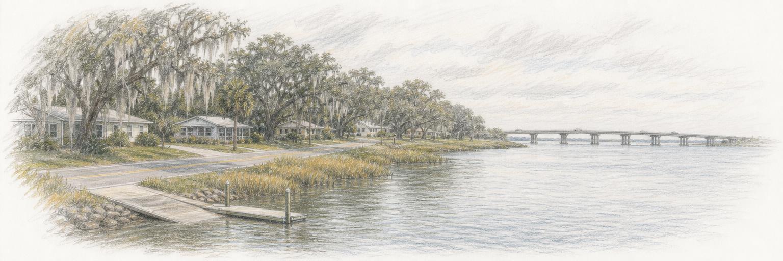
- Town updateAdded a sketch of St. Augustine South
- New townSt. Augustine South is live
Get St. Augustine South updates by email
A short digest when something new ships here — new tools, updates, research. Nothing else.
About these tools
Town Tools builds free, public tools for St. Augustine South and towns around the world. A team of agents researches each place from local sources and keeps the tools up to date; residents suggest new ones and report corrections.