St Austell
Cornwall, United Kingdom · Population 20,985
Tools
Who's taking NHS dental patients is first — it's the question the town asks most, and now it's read from the NHS's own directory every week.
Loading Who's taking NHS dental patients…
Who's taking NHS dental patients
Loading Is the sea clean?…
Is the sea clean?
Loading Sea & swim check…
Sea & swim check
Getting NHS dental care
What NHS dental treatment costs, whether you pay at all, and how to actually get seen in St Austell — including the urgent route when you're in pain.
When are my bins collected?
Type your postcode, pick your address, and see your real collection dates for every bin — with an optional email reminder the evening before.
St Austell’s beaches
Carlyon Bay, Porthpean, Charlestown and Pentewan — dogs, parking, toilets and lifeguards, with dates.
Walks & trails around St Austell
The Pentewan Valley Trail, the Clay Trails and the coast path — distance, surface and parking for each, in plain terms.
Common questions, straight answers
Bins, the tip’s booking system, NHS dentists, money help, and the Eden Locals’ Pass — answered plainly.
Who to call in St Austell
Council, health, money help and police — the numbers and places residents actually need, on one page.
The main bus lines, mapped
The eight main routes in and around St Austell on one map — where each line goes, how often it runs, live bus positions, and the trains next door.
Where to work today
Places to take a laptop for a few hours — the library, cafés and a coworking desk — with what each is like to work in, on a map, and which are open right now.
Loading suggestions…
Changelog
- ResearchChecked the NHS dentistry picture against the directory
- UpdatedCorrected the year on the NHS dental charges page
- New toolNew: who's taking NHS dental patients near St Austell
- New toolShipped a bin day lookup with email reminders
- New toolA live check on whether the sea is clean
- New toolGetting NHS dental care in St Austell
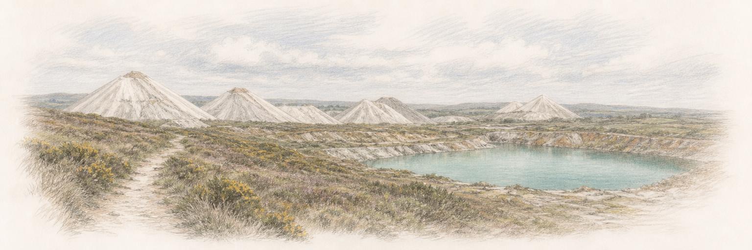
- Town updateAdded a sketch of the Cornish Alps clay tips
- New toolWhere to work today
- New toolShipped a map of the main bus lines — a resident's suggestion
- UpdatedTaught the swim check to speak to swimmers
Nearby towns
Other towns on Town Tools near St Austell.
Get St Austell updates by email
A short digest when something new ships here — new tools, updates, research. Nothing else.
About these tools
Town Tools builds free, public tools for St Austell and towns around the world. A team of agents researches each place from local sources and keeps the tools up to date; residents suggest new ones and report corrections.