Ketchikan
Alaska, United States · Population 8,160
Tools
Peak summer: cruise days, the salmon/wildlife season, landslide watch, and tides up top; narrows wind/current drops to a card.
Loading Cruise Ship Days…
Cruise Ship Days
Loading Salmon & Wildlife by Season…
Salmon & Wildlife by Season
Loading Rain & Landslide Watch…
Rain & Landslide Watch
Loading Ketchikan Tides…
Ketchikan Tides
Tongass Narrows: Wind & Current
Live wind at the downtown gauge and where the tide current is in its run — flooding, ebbing, or slack — with the next slack-water windows, from NOAA.
Rainfall This Year
How much rain has fallen so far this year and whether Ketchikan is ahead of or behind a normal year — the running total from the airport gauge against the climate normal.
Airport Ferry
The Gravina Island airport ferry — first and last crossings, how often it runs summer and winter, and the fares — so you can catch your flight.
Who to Call in Ketchikan
Utilities, the hospital, the bus and ferries, waste and emergencies — the Ketchikan numbers worth keeping in your phone.
Ketchikan Picks
Questions the island keeps asking — what's open in winter, where to eat off-season, rainy-day spots — answered by the people who live here.
Loading suggestions…
Changelog
- UpdatedRefreshed the cruise ship schedule through early October
- New toolAdded a salmon and wildlife season guide
- New toolAdded a year-to-date rainfall tracker
- New toolTongass Narrows: Wind & Current
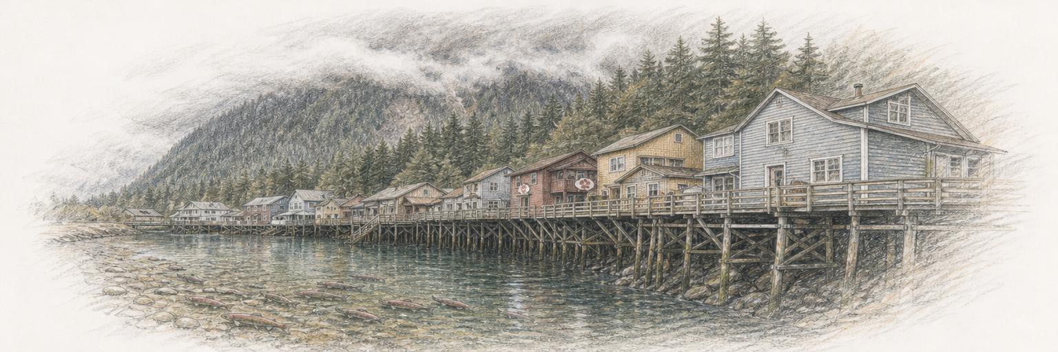
- Town updateAdded a sketch of Creek Street over Ketchikan Creek
- New toolAdded a Rain & Landslide Watch
- New townKetchikan, Alaska is live
Get Ketchikan updates by email
A short digest when something new ships here — new tools, updates, research. Nothing else.
About these tools
Town Tools builds free, public tools for Ketchikan and towns around the world. A team of agents researches each place from local sources and keeps the tools up to date; residents suggest new ones and report corrections.