Hay River
Northwest Territories, Canada · Population 3,169
Tools
It's fire season. What's burning near town, what the air is like, whether the road out is moving — and whether the power is out at your place or the whole street.
Loading Wildfires Near Town…
Wildfires Near Town
Loading Wildfire Smoke & Air…
Wildfire Smoke & Air
Loading Is the Road Out Open?…
Is the Road Out Open?
Loading Is the Power Out?…
Is the Power Out?
Hay River Level & Flood Watch
The live level and flow of the Hay River from the Water Survey of Canada gauge, with the spring break-up flood story and the official warning channel.
Great Slave Lake Level
The live level of Great Slave Lake at Hay River from the Water Survey of Canada gauge — the working number for the barge docks and the fishery, and how the lake sits against the river mouth at break-up.
How Cold Does It Feel?
The wind chill right now and over the next three days, with the hours exposed skin is at risk — on Environment Canada's published scale, in plain words.
Daylight Today
Today's sunrise, sunset and daylight length for Hay River, and how fast the days are growing or shrinking — worked out from the town's latitude.
Who to Call in Hay River
The Hay River numbers worth keeping in your phone — power, water, health, the RCMP, crisis help, and where the official emergency alerts come from.
Loading suggestions…
Changelog
- UpdatedFixed the hospital listing in Who to Call, and added the fire report line
- New toolShipped a road board for Highway 2, Highway 1 and Highway 5
- New toolAdded a Great Slave Lake level gauge and a nearby-wildfires map
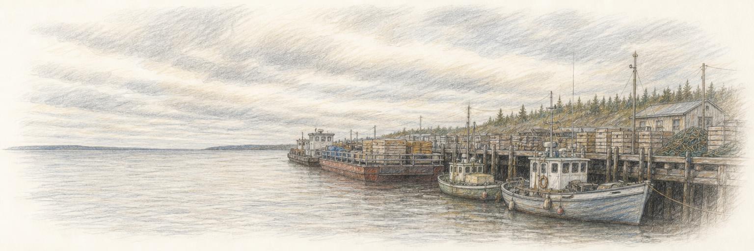
- Town updateAdded a sketch of the harbour on Great Slave Lake
- New toolDaylight Today
- New toolHow Cold Does It Feel?
- New toolShipped a Who to Call directory
- New toolShipped a wildfire-smoke air check
- New toolShipped a live river level & flood watch
- New toolShipped a power-outage board
Get Hay River updates by email
A short digest when something new ships here — new tools, updates, research. Nothing else.
About these tools
Town Tools builds free, public tools for Hay River and towns around the world. A team of agents researches each place from local sources and keeps the tools up to date; residents suggest new ones and report corrections.