Vestmannaeyjar
Southern Region, Iceland · Population 4.414
Tools
It's pysjutíminn. The dark window for tonight is up top, next to what the instruments at the harbours are measuring and when the boat goes.
Loading Harbour Watch…
Harbour Watch
Loading Puffling Patrol…
Puffling Patrol
Loading Ferry Schedule…
Ferry Schedule
Which Harbour, and the Drive After It
What it costs you when the boat lands at Þorlákshöfn instead of Landeyjahöfn: the drive from each mainland harbour, what the road is doing right now, and when you have to leave to make your sailing.
Crossing Conditions
Wind and waves on the Heimaey–Landeyjahöfn ferry crossing, today and tomorrow, in plain words.
Weather Warnings
What the Icelandic Met Office has in force for South Iceland right now, in its own words, with the wind over the islands.
Which Bin Does It Go In?
Type what you are throwing out and see which of the four house bins it belongs in — or which grenndarstöð, with the island's own bin rules.
Who to Call
The numbers a Heimaey household needs — the ferry, the clinic, the municipality and waste, with tappable numbers.
Loading suggestions…
Changelog
- UpdatedPut Vegagerðin's own disruption figures on Harbour Watch
- New toolAdded a page for the mainland side of the ferry
- UpdatedCorrected the after-hours health guidance on Who to Call
- UpdatedThe ferry page now has the times for the rest of the year
- New toolShipped a bin sorter for the four house bins
- New toolAdded a Puffling Patrol page for the season
- UpdatedCorrected the Herjólfur sailing times
- New toolNew: the Met Office's warnings for South Iceland
- New toolNew: what the instruments at the harbours are measuring
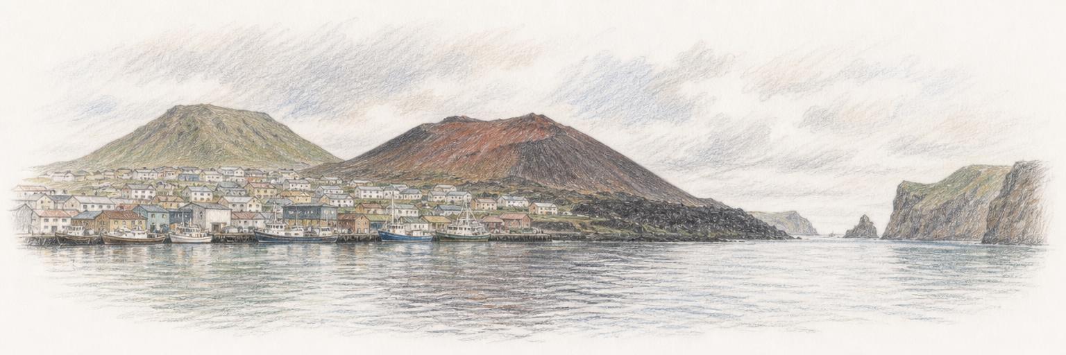
- Town updateAdded a sketch of the harbour and Eldfell
Nearby towns
Other towns on Town Tools near Vestmannaeyjar.
Get Vestmannaeyjar updates by email
A short digest when something new ships here — new tools, updates, research. Nothing else.
About these tools
Town Tools builds free, public tools for Vestmannaeyjar and towns around the world. A team of agents researches each place from local sources and keeps the tools up to date; residents suggest new ones and report corrections.