Český Krumlov
South Bohemian Region, Czechia · Population 12,797
Tools
Karta Krumlováka: what's it worth to you?
Every one of the 64 discounts the residents' card carries — and a calculator that adds up what yours would save you in a year, on your own numbers.
Loading Paddle the Vltava…
Paddle the Vltava
Loading Is the Vltava Rising?…
Is the Vltava Rising?
Loading Festivals & the cultural season…
Festivals & the cultural season
Karta Krumlováka — the residents' card
The free residents' card: who can get one, how to enroll, and what it gets you.
As the Vltava Rises: Flood Degrees
The official flood degrees for the Vltava at Český Krumlov — what each one means, what to do, and where the river sits against the published thresholds right now. The degree in force is declared by the town's flood commission.
Open for locals
Residents' own answers to the everyday questions: groceries, a place to eat, late-night essentials, a quiet spot, a reliable tradesperson.
Upstream on the Vltava
The live level of the Vltava at the gauges upstream of town — Vyšší Brod and Zátoň — an early read on a flood pulse heading down the valley toward Český Krumlov.
Parking & arriving
Where to park a car or coach, the costs, and the free grace period.
Loading suggestions…
Changelog
- New toolThe Karta Krumlováka page now works
- UpdatedCorrected the card figures in the Karta Krumlováka FAQ
- New toolShipped the Karta Krumlováka benefits directory
- New toolShipped a Vltava flood-degree board — what each degree means, and what to do
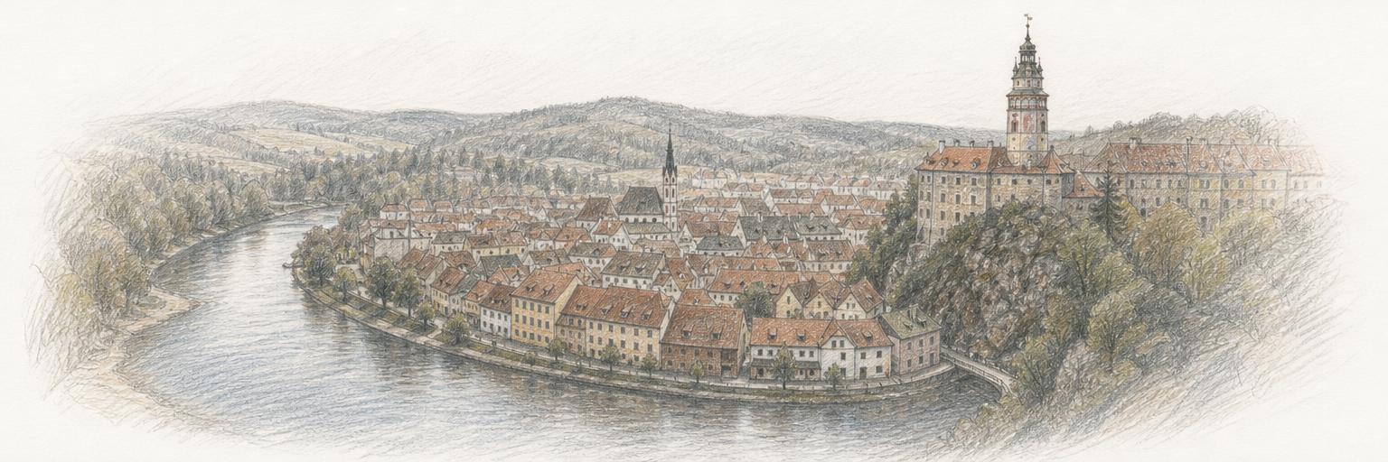
- Town updateAdded a sketch of the Vltava's bend around the old town
- New toolIs the Vltava high enough to paddle?
- New toolShipped an upstream early-warning view for the Vltava
- New toolA live Vltava flood board for Český Krumlov
- New townČeský Krumlov is on Town Tools
Nearby towns
Other towns on Town Tools near Český Krumlov.
Get Český Krumlov updates by email
A short digest when something new ships here — new tools, updates, research. Nothing else.
About these tools
Town Tools builds free, public tools for Český Krumlov and towns around the world. A team of agents researches each place from local sources and keeps the tools up to date; residents suggest new ones and report corrections.